A tour of the Yorkshire Wolds to look at the different farming landscapes and farming practices.
Big Skies & Dry Valleys
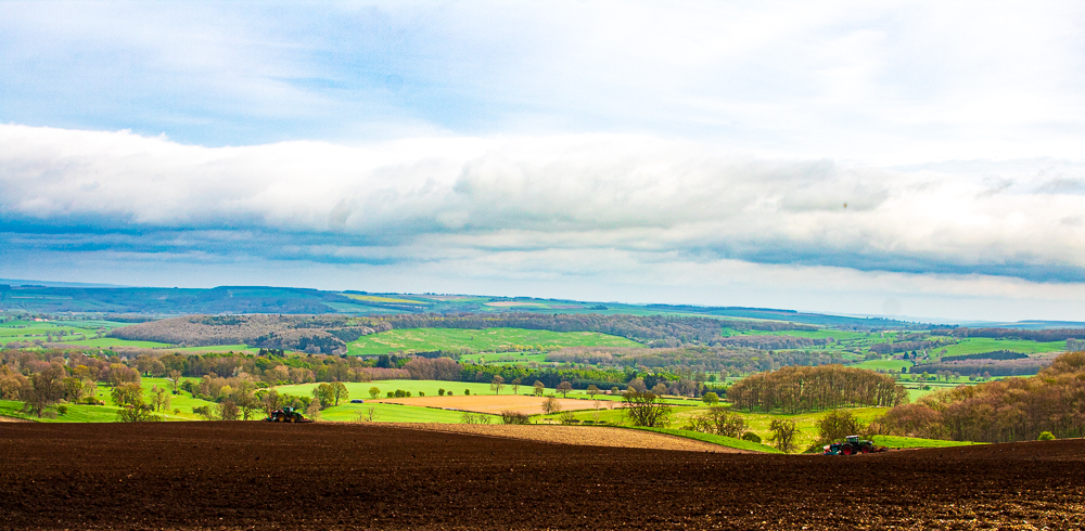
A quiet arc of low, rolling chalk hills in East & North Yorkshire — the most northerly chalk outcrop in Britain — cut by distinctive dry valleys and overlooked by farmland, cliffs and sleepy villages. Wikipedia
Landscape & geology
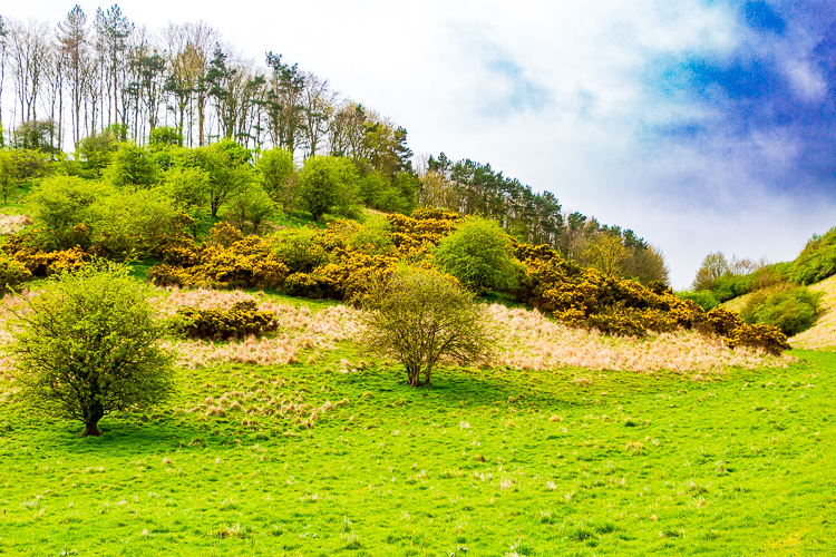
Formed largely of Cretaceous chalk, the Wolds show a steep western escarpment dropping to the Vale of York and gentle dip-slopes to the east. The dry “dales” were carved by glacial meltwater at the end of the last Ice Age — expect big, open skies, long sightlines and classic chalk soils. Wikipedia+1
Wildlife & habitats
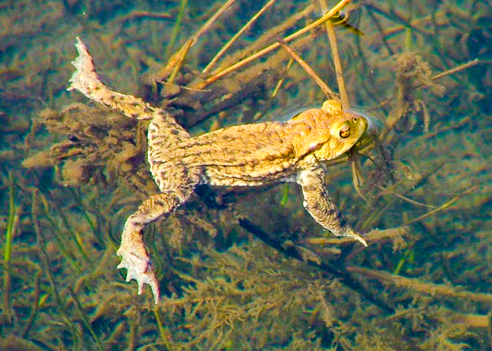
Chalk grassland, patchy woodland, wetlands and coastal cliffs nearby (e.g., Bempton/Flamborough) support a strong suite of wildlife — wildflowers, butterflies, chalk-stream species and seabird colonies on the coast. Local trusts manage reserves across the Wolds. ywt.org.uk+1
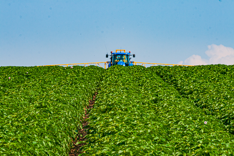
Land use & people
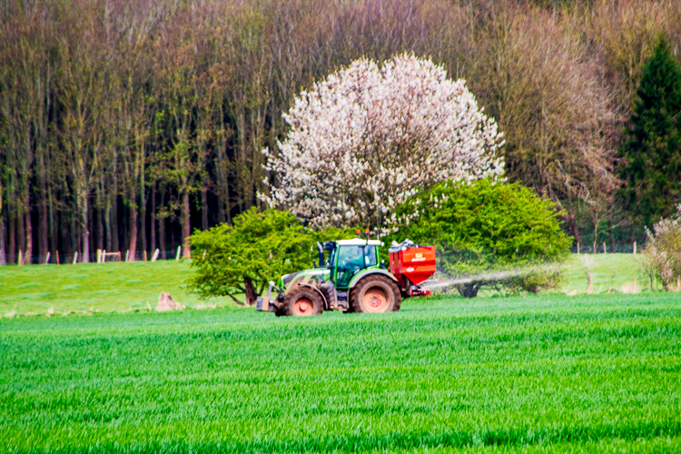
Predominantly agricultural — arable fields, mixed farms and scattered villages. The landscape’s openness means farming practices strongly shape biodiversity and the visual character of the Wolds.
Weather & Climate
| Climate Variable | Yorkshire Wolds | UK Average | Difference / Notes |
| Annual mean temperature | 9-10 °C | 9.8 °C | Slightly cooler or about the same; depends on elevation & exposure in the Wolds (higher ground may be a bit colder) |
| Annual sunshine | 1,500-1,550 hours | 1,300-1,400 hours in many places; higher in sunny pockets | Wolds gets above UK average in sunshine; long summer days help |
| Rainfall total | 630-650 mm | 1,200-1,300 mm | Wolds region is considerably drier than UK rainier parts (especially the west, uplands) |
Things to Look out for on the way…
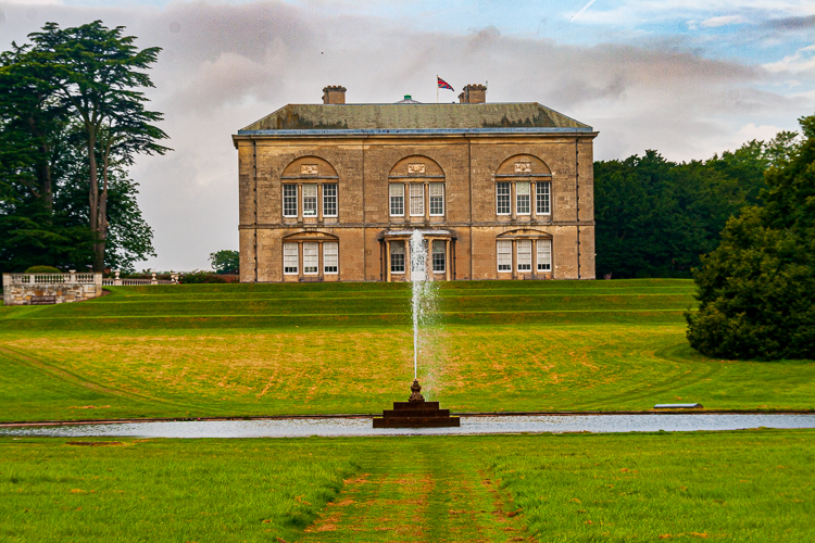
Garrowby Estate
As we get to top of Garrowby Hill land on the left is part Lord Halifax’s 20,500 acre estate. Garrowby Estate situated on the edge of the Yorkshire Wolds is the “jewel in the crown” having been recognised as having nationally important landscape quality. The in-hand farming operation covers approximately 750 acres. The majority of this land is grassland, covering the parkland around Garrowby Hall and the area between Garrowby Park and Bugthorpe village. Read more about the Garrowby Estate
View across Vale of York
As we travel along the roman road along the edge of the Wolds you can look out across the Vale of York the villages you may see are Uncleby Hill and Painsthorpe
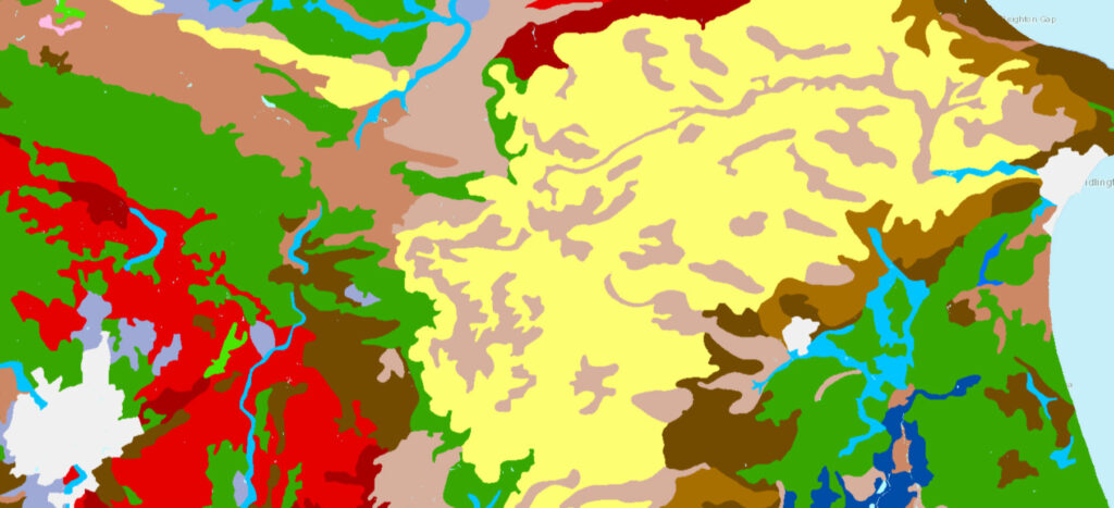
Land Types
The Agricultural Land Classification provides a framework for classifying land according to the extent to which its physical or chemical characteristics impose long- term limitations on agricultural use
Agricultural Land is classified in to 5 types:
- Grade 1 – excellent quality agricultural land
- Grade 2 – very good quality agricultural land
- Grade 3 – good to moderate quality agricultural land
- Grade 4 – poor quality agricultural land
- Grade 5 – very poor quality agricultural land
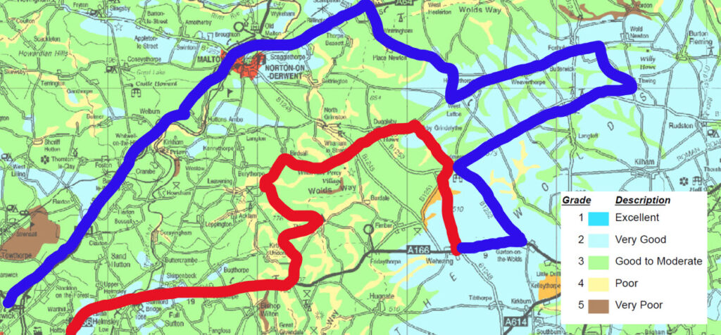
with route and legend on
To download full map go to Natural England Website – go to
Soil Types
Soil types are what describe if soil is sandy, loamy clay etc and how acidic it is. There is a list given as a legend. To see the map for our tour visit website using link below the map
Of Interest
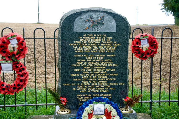
There is a memorial in the layby at the top of Garrowby Hill to a WWII bomber that crashed in 10/10 cloud cover in 1944- testament to the 800 ft that Garrowby rises to compared with the low land of the Vale of York were a lot of the WWII bomber bases where.
Here’s the outward leg of our tour
Sledmere
Arrive at Sledmere where we are going to have a farm tour with the manager.
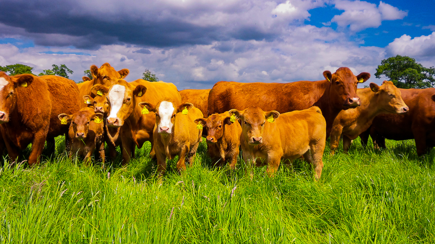
The Sledmere Estate farming enterprise rears Red deer, sheep and cattle. Both the beef and venison supply a leading supermarket and are raised under high health status.
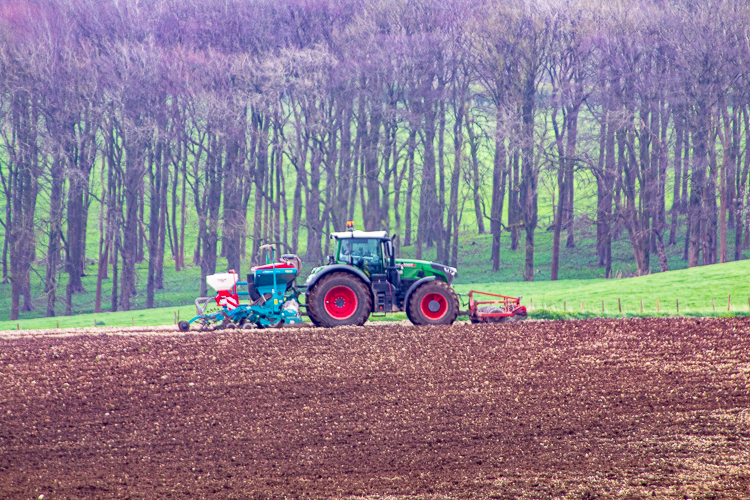
The arable enterprise is around 2,000 acres and grows winter wheat, winter barley, spring barley, oil seed rape, vining peas, and potatoes. Both the winter and spring barley are sold for malting and the peas are grown for Birdseye.
The farm employs 4 full time staff and a student, we undertake all the farming duties in house along with working closely with the event team to assist in festivals and outside events.
500 acres of grassland makes up the remaining acreage bringing the total to 2,500. All the livestock are housed inside through the winter and are turned out in the spring.
“the reformer of the Wolds”
Sir Christopher Sykes (1749 – 1801)

Introduced new ideas, like rotating crops and growing turnips for sheep to eat. This produced much needed food and wool from land which had not produced food our wool before.
Sledmere Monument
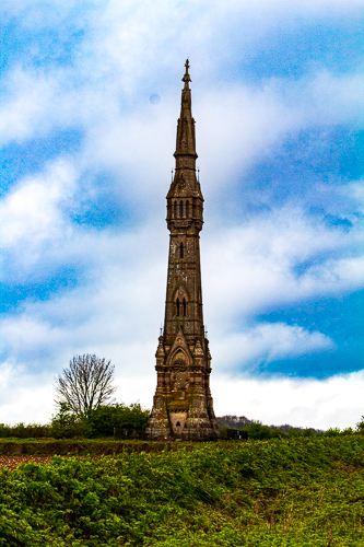
This was built in 1865 to commemorate Sir Tatton Sykes IVth Bt (1772-1863)
Birdsall Estate
At the north end of Thixendale is Aldro which is part of the Birdsall Estate owned by Lord Middleton.
The areas farmed by Birdsall Estate includes heavy clay soils on the low ground, Wold escarpment and dale sides with large arable fields on the well-drained but shallow flint and chalk Wolds.
Birdsall Estate was involved with starting up and developing the Stabiliser Beef Cattle programme in the UK. This programme was started in 1996 by five significant beef producers based in East Yorkshire in response to their requirement to develop an improved suckler cow type to replace their less efficient dairy-bred cows. The focus of the breeding programme is to improve the economic efficiency of suckler cows and the production of consistently high eating quality beef for least cost from forage-based systems
Birdsall Estate Website
Birdsall Estate Farms
Albanwise Farming
Albanwise has grown over its 40 years of activity starting with 400 acres at the time of its incorporation to over 25,000 acres today. It is one of the 10 largest agribusiness in the country. They farm a total of 8,946 hectares split evenly between Norfolk and Yorkshire. The company employs 43 permanent members of staff across all farms. Read more on Albanwise Website
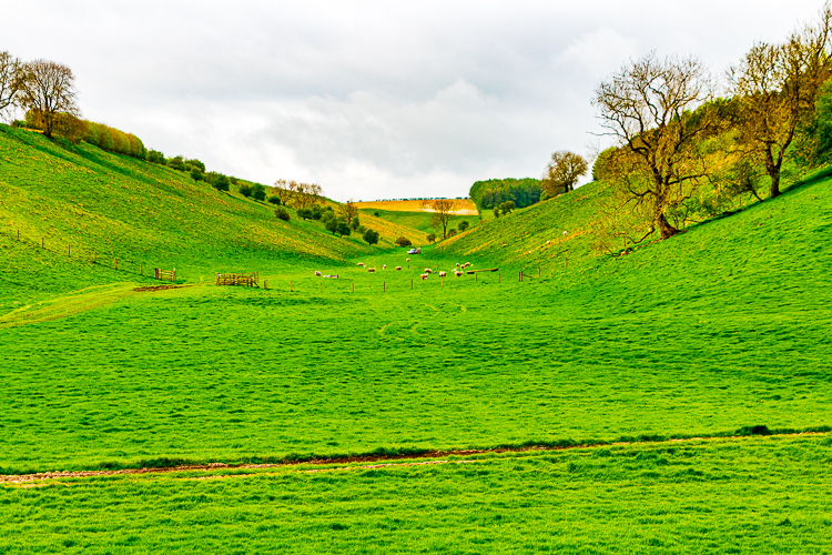
The Great Wold Valley
The farm we visited in Helperthorpe and the drive after dinner from Kirby Grindalythe is along part of the Great Wold Valley. As we approach Duggleby you can see the Gypsy Race in a grass field – the only stream in the valley which disappears underground and then reappears in places.
The Great Wold Valley has some grade 2 land which is highly productive.
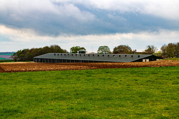
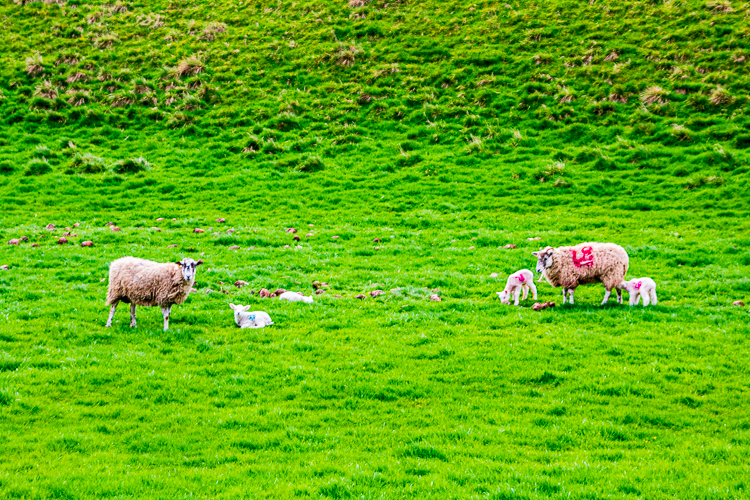
East Yorkshire was traditionally was of the main areas for pig and poultry farms as they were near their main food source – cereals. Many farms on the Wolds still have pigs and also poultry for eggs or meat. Poultry sheds are quite easy to spot on farms once you know what to look for. Look for several sheds which look identical. Pigs farms have similar sheds but these tend to differ in size and heights.
Duggleby & Wharram le Street
As we pass through Duggleby and reach Wharram le Street we reach the end of the Great Wold Valley the largest and broadest of the valleys cutting into the Yorkshire Wolds.
Water on the Wolds
Watercourses are intermittent and irregular on the Yorkshire Wolds and are locally referred to as ‘gypsey springs’.
The Gypsy race is the best known of these, we pass it’s source as we drive towards Duggleby.
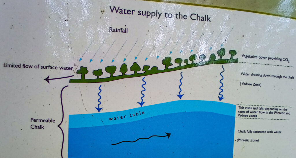
This intermittent and irregular watercourse is believed to be affected by a siphoning action in underground reservoirs and they can come into flood apparently regardless of recent rainfall in the local vicinity.
Dew Ponds
Dew ponds were created on the Yorkshire Wolds in the 18th and 19th centuries to provide water for livestock in the dry Wolds landscape.
Few are used by livestock today, but they are a haven for wildlife and an important feature of the landscape. These dew ponds stretch for 20 miles from Thixendale to Fordon.
Dew ponds were traditionally made by lining the hole with clay . Often the clay has other materials added – such as straw laid beneath the clay as an ins
Thixendale
An example of the ‘upside down farming’ on the Wolds were the livestock can be found in the valleys and the crops on the tops – unlike areas like the North Yorkshire Moors and the Yorkshire Dales were the high hills are inhabited by moorland and livestock whilst the in-bye lower land used is for conserving grass and growing arable crops.
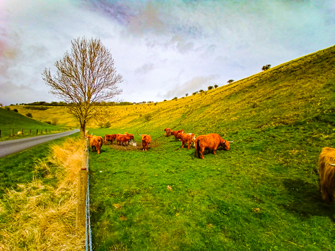
Views and livestock in Thixendale
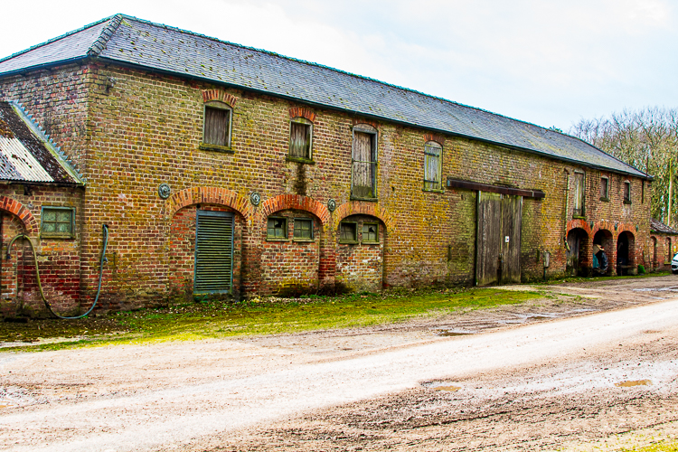
Between Thixendale & Roman Road
As we drive up the hill from Thixendale and back up on to the top of the Wolds we will pass through a wood were you come upon a typical Wolds Farmstead which has a row of wagon sheds that surround a fold yard in which cattle were wintered. The whole farmstead being surround by a shelter belt of trees to protect against the wind and often harsh winters of the Wolds.
Weaverthorpe
As we go through Weavertorpe you can see the Gypsy Race again running along the middle of the village.
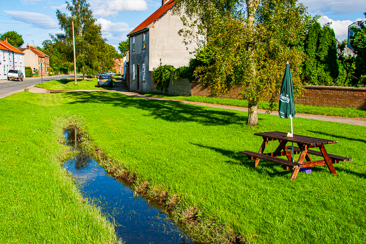
Weaverthorpe
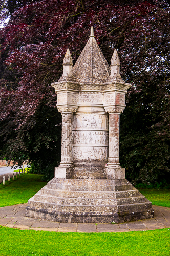
Waggoners go to war
Finally spare a thought for the farm hands that were part of the waggoners reserve who went to WWI – more details in video below

Waggoners Memorial
There is a memorial to the Waggoners in the village it tells there story with images around the column.
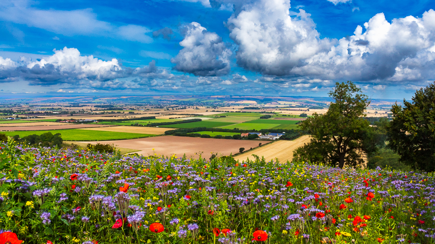
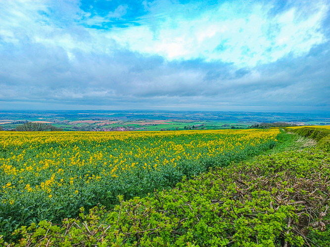
Hope you’ve enjoyed the tour of the beautiful Yorkshire Wolds. Here’s some more images to enjoy….
